Strengthening Community Resilience in Dili Through Integrated Waste Mapping, Ushahidi Reporting, and Drone-Assisted Flood Risk Mapping
Dili is experiencing increasing challenges from urban flooding, unmanaged waste, blocked drainage systems, and rapid urban development. These challenges can have serious consequences for communities, infrastructure, livelihoods, public health, and the environment. To support communities and local authorities in addressing these challenges, Grupo Sistema Informasaun Geografia (G-SIG), with support from UNDP Timor-Leste, is implementing a Community-Based Resilience Building (CBRB) initiative focused on strengthening community resilience through integrated waste mapping, mobile-based reporting, participatory flood-risk mapping, and drone-assisted geospatial assessment.
The initiative is being implemented in selected areas of Dili Municipality, particularly Suco Manleuana, Suco Motael, and Kampung Alor, with the involvement of communities, youth, local authorities, and relevant municipal stakeholders.
Understanding the Challenge
Flooding has become one of the major environmental and disaster-risk challenges affecting communities in Dili. The impacts are often intensified by inadequate drainage, accumulation of waste, development in vulnerable areas, and limited access to timely and reliable information about local hazards. The impacts of flooding and landslides were particularly severe during Tropical Cyclone Seroja in April 2021, when extreme rainfall triggered widespread flooding and landslides across Timor-Leste. Dili and surrounding areas experienced significant damage to homes, infrastructure, roads, and other critical facilities, while communities also suffered loss of life and livelihoods.
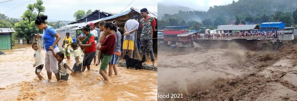
These experiences highlight the importance of strengthening community preparedness, early identification of hazards, improved waste and drainage management, and access to reliable spatial information. G-SIG’s CBRB initiative responds to these challenges by connecting community knowledge, digital reporting, GIS, participatory mapping, and drone technology to create practical information that can support local decision-making.
From Community Reporting to Actionable Maps
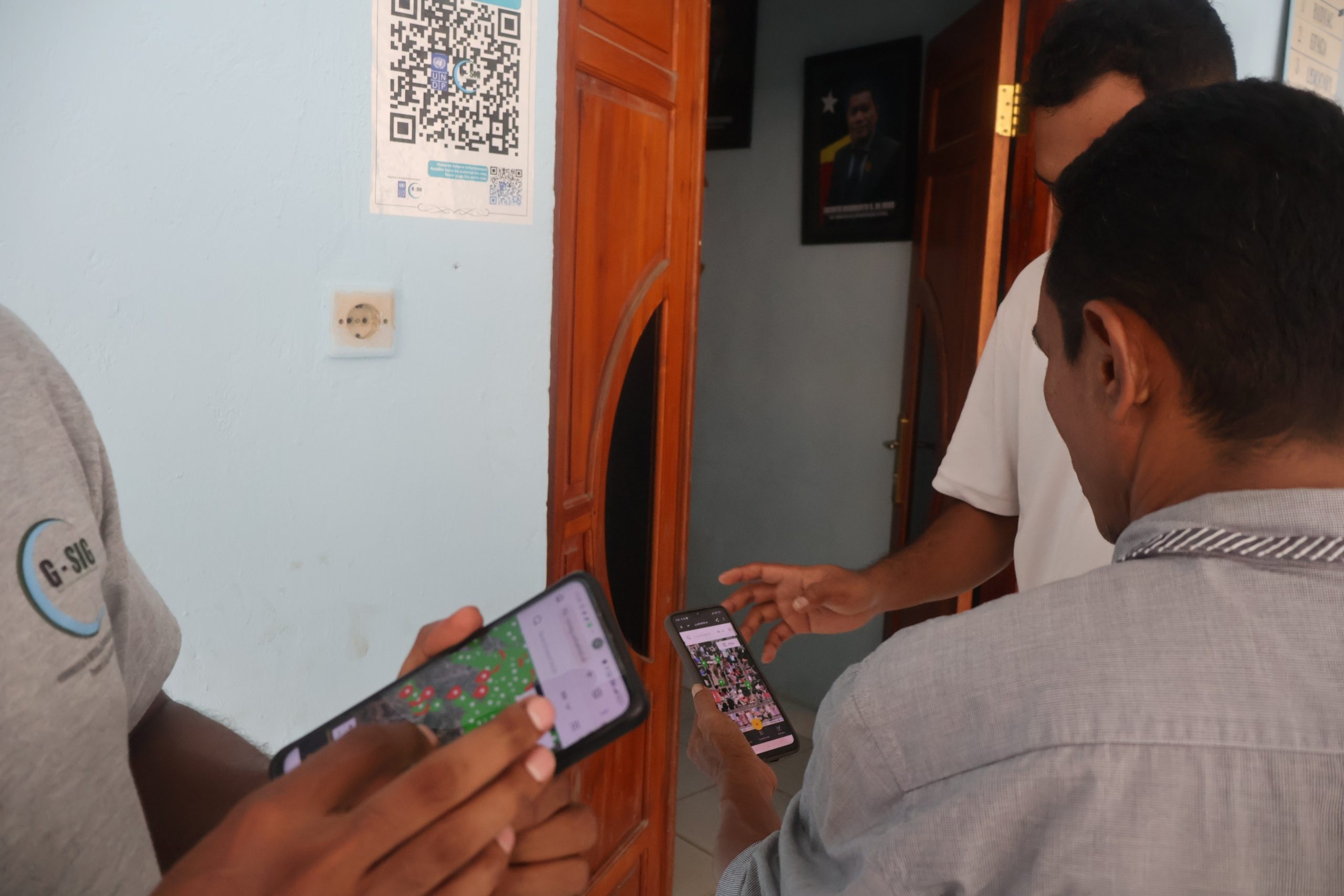
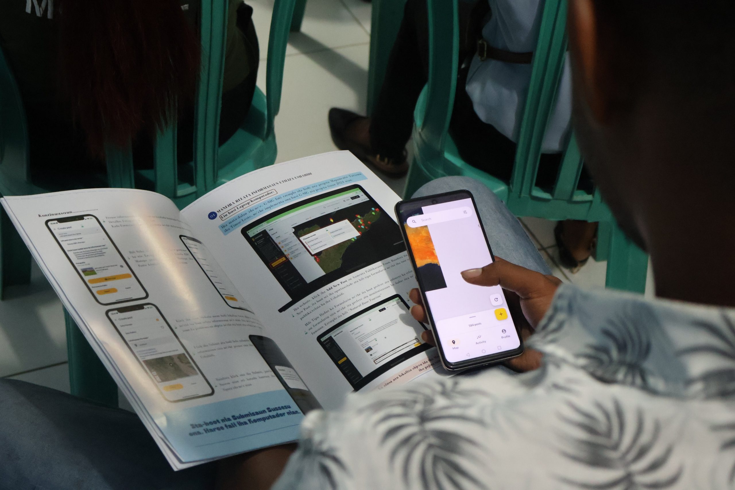
The initiative builds on G-SIG’s previous work in digital waste mapping and disaster-risk information by integrating several complementary approaches. Through Ushahidi, community members and local authorities can report and monitor waste-related problems using mobile devices. At the same time, QR-based reporting mechanisms are being explored to make reporting more accessible and to create a simple pathway for communities to submit information about waste and environmental problems.
The information collected through these systems can then be organized and visualized spatially, allowing stakeholders to understand where problems are occurring, what types of problems are being reported, and which locations may require priority attention. This approach aims to move beyond simply collecting data. The objective is to transform community reports into usable geospatial information that can support local authorities and communities in identifying priorities and planning appropriate actions.

Key Activities
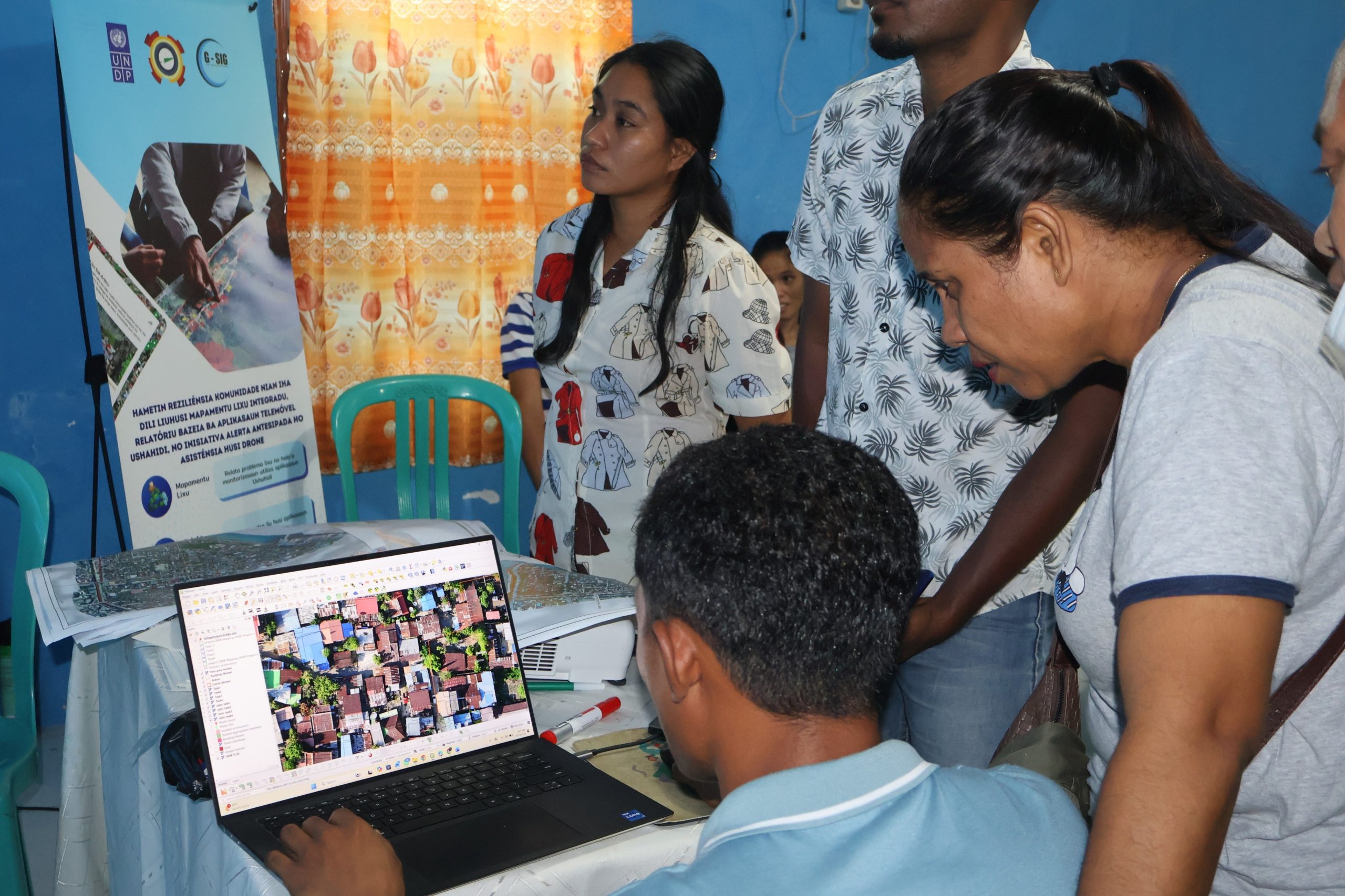
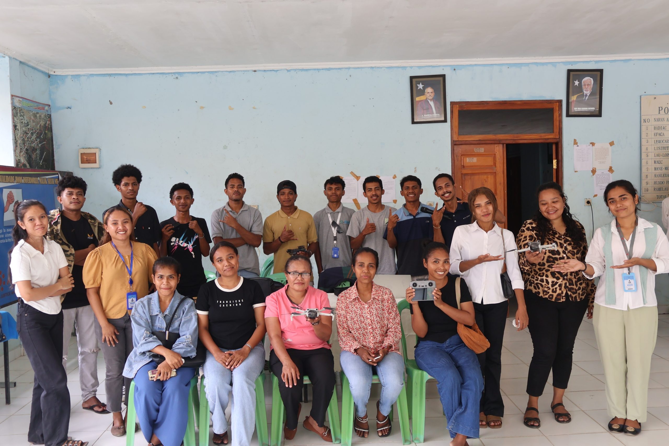
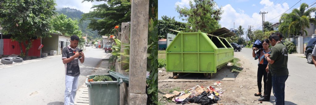
1. Community-Based Waste Mapping and Ushahidi Reporting: G-SIG is working with communities, youth, and local authorities to strengthen their capacity to use Ushahidi and mobile-based GIS tools for reporting and monitoring waste-related issues. Training sessions introduce participants to the process of collecting, submitting, visualizing, and monitoring information through digital platforms. QR codes are also being developed as an accessible mechanism for connecting communities with the reporting system and project information.
Through this approach, waste-related information can be continuously updated and visualized on a digital map, creating a more dynamic understanding of environmental issues at the community level. The initiative also promotes stronger collaboration between communities, suco authorities, municipal institutions, and other relevant stakeholders so that reported issues can be better communicated and followed up.
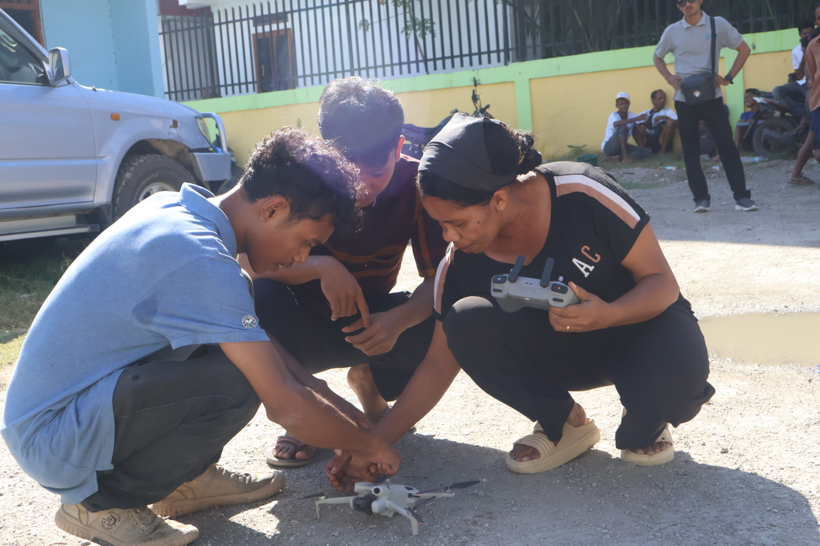
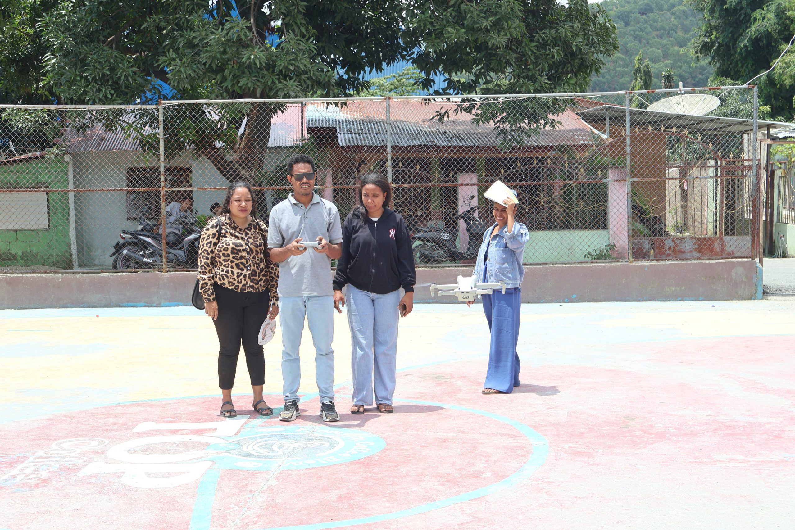
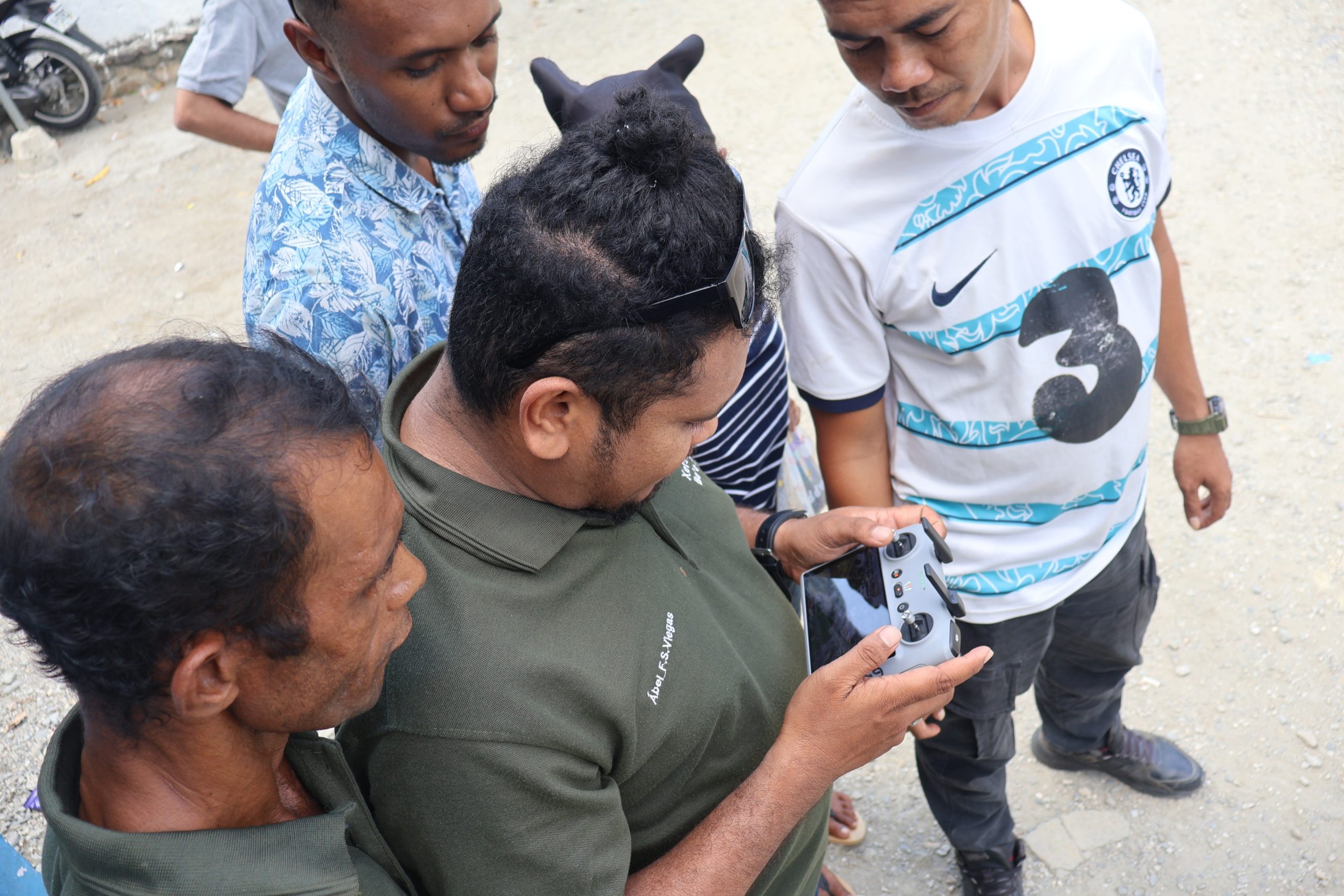
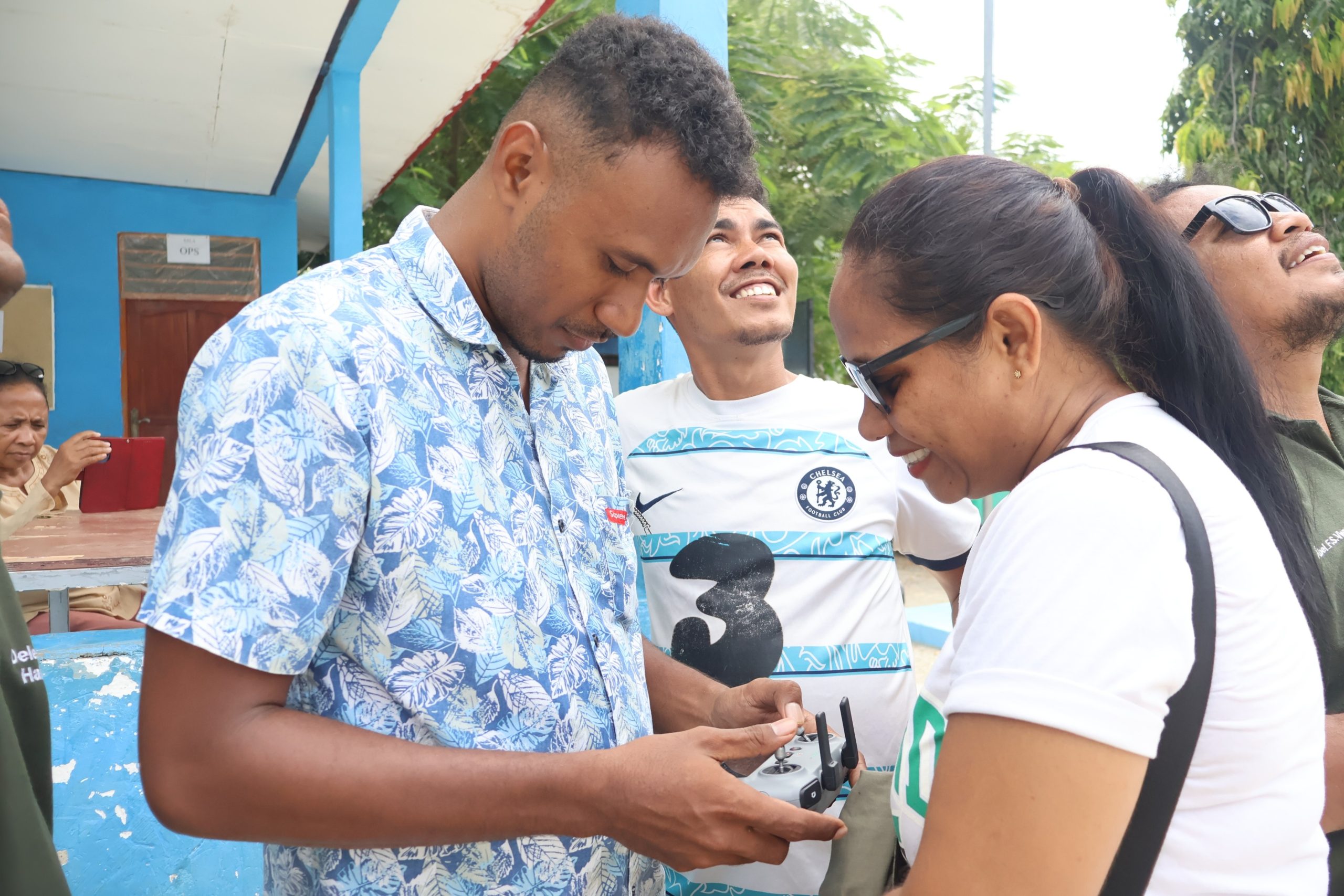
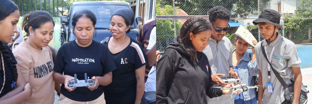
2. Drone-Assisted Mapping and High-Resolution Spatial Data: To complement community-generated information, G-SIG is applying drone technology and geospatial analysis to better understand the physical characteristics of selected areas. Drone surveys can generate high-resolution orthomosaic imagery and other spatial datasets that provide detailed information about land use, drainage systems, waterways, built-up areas, and other features relevant to flood-risk assessment.
The resulting spatial information can be used together with community observations and existing geographic datasets to better understand areas that may be vulnerable to flooding. This combination of technology and local knowledge is particularly valuable because communities often have detailed knowledge of flood locations, water-flow patterns, drainage problems, and historical events that may not be captured in existing datasets.

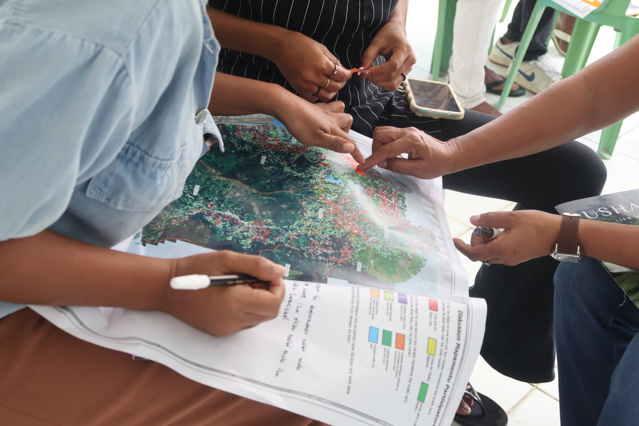
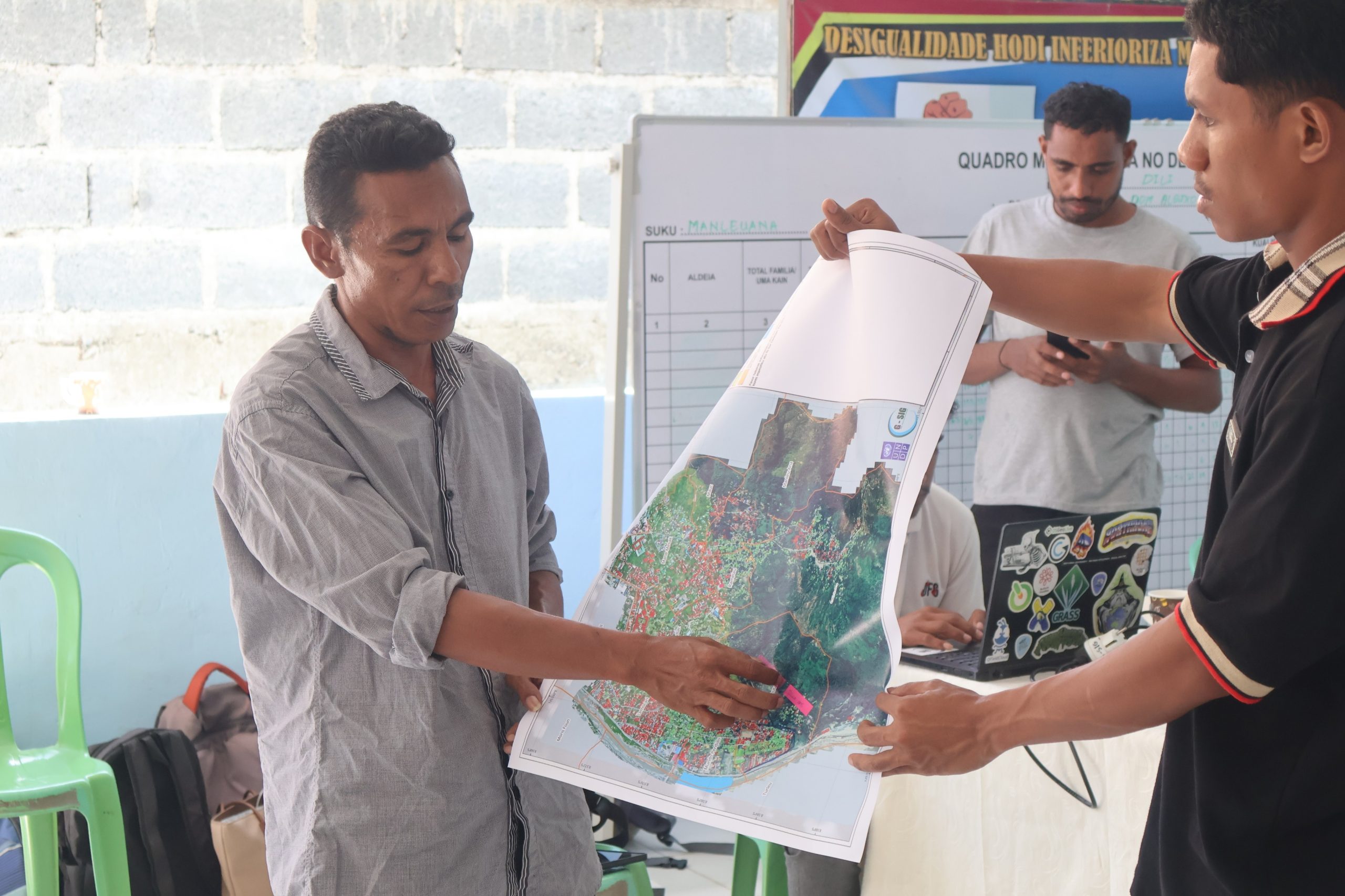
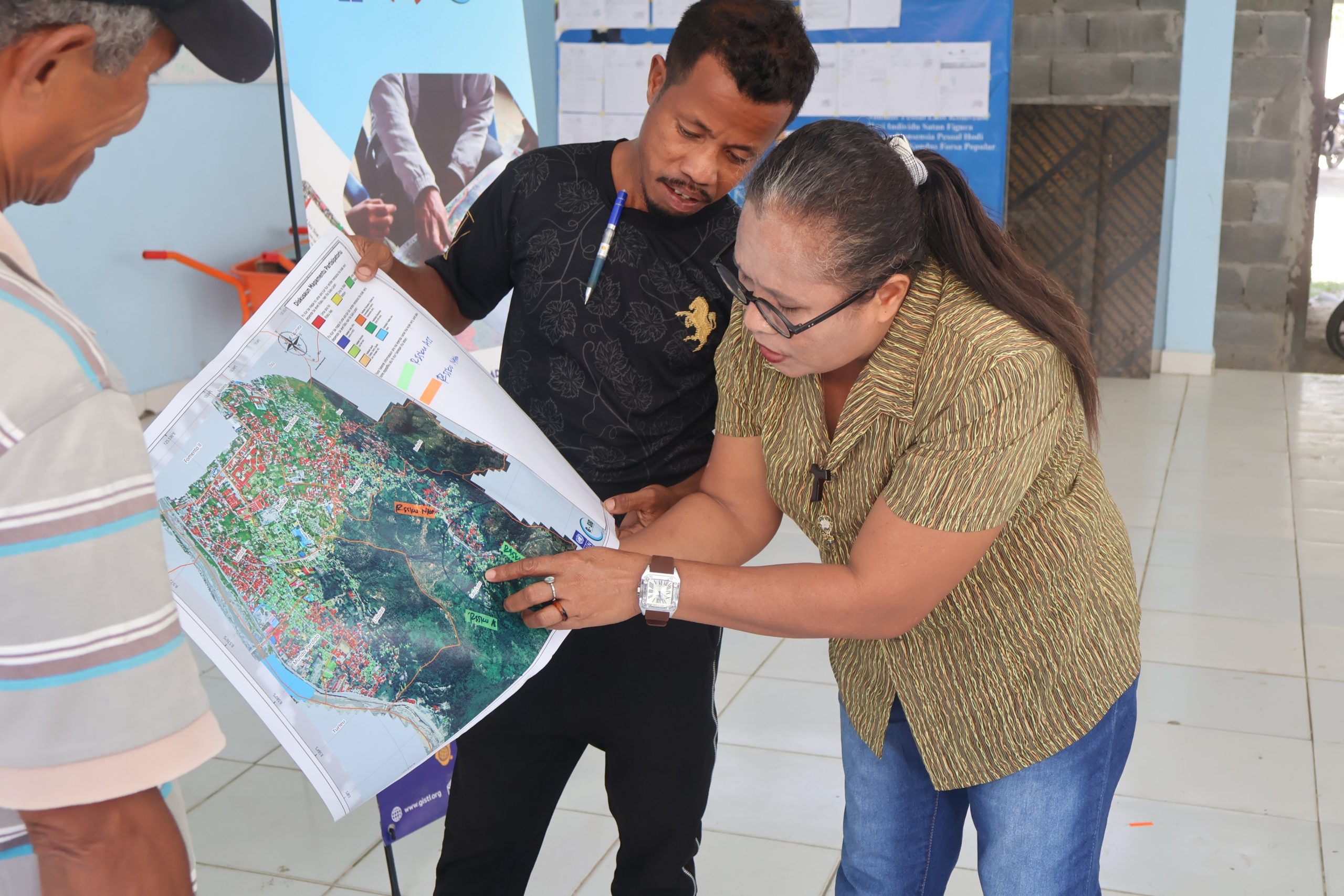
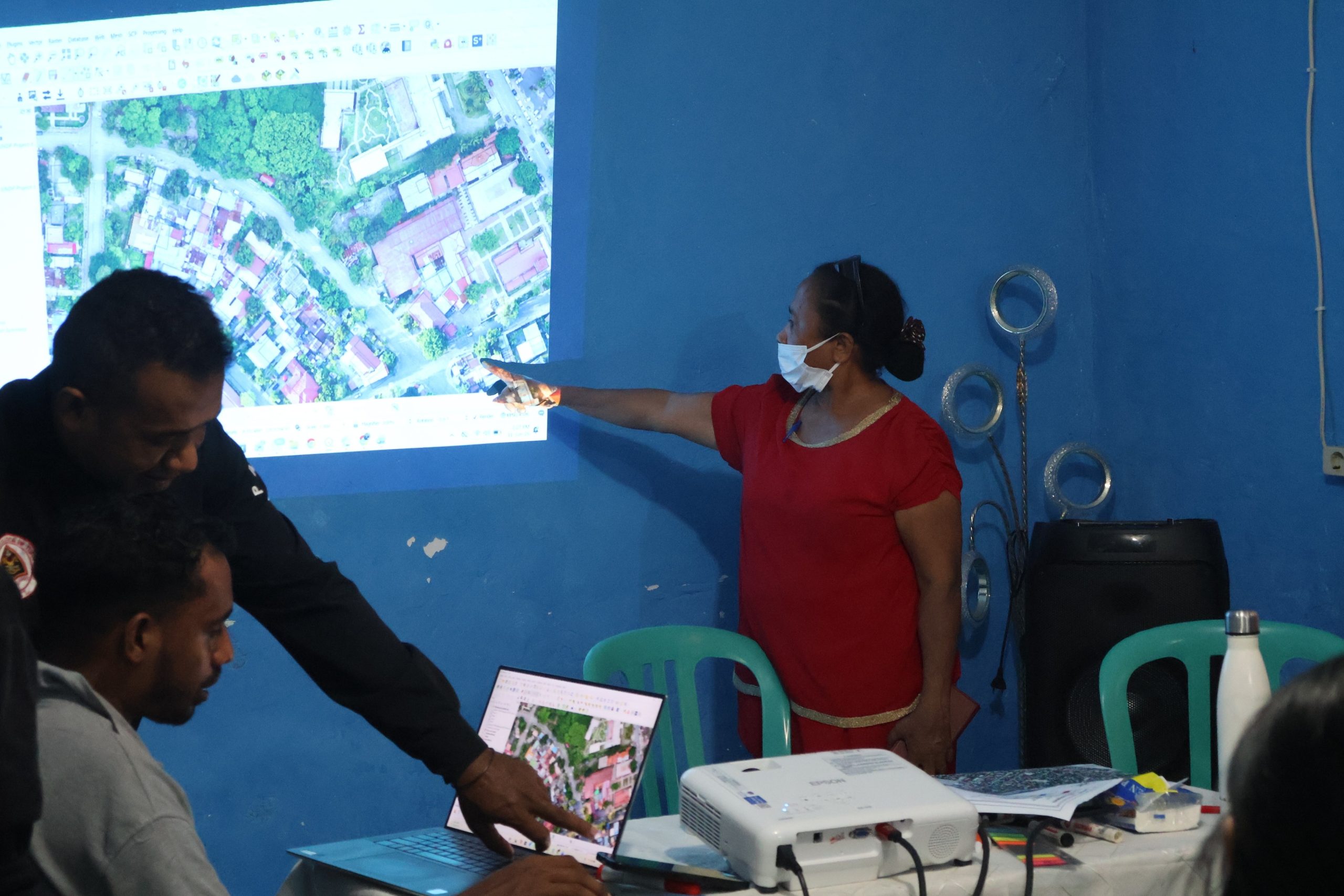
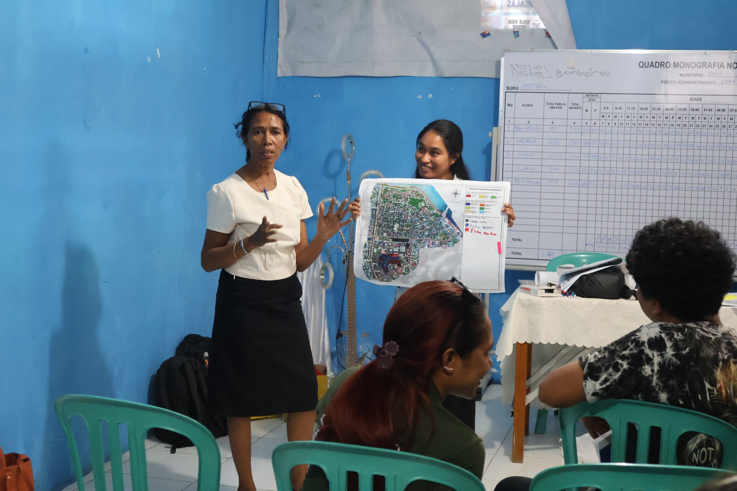
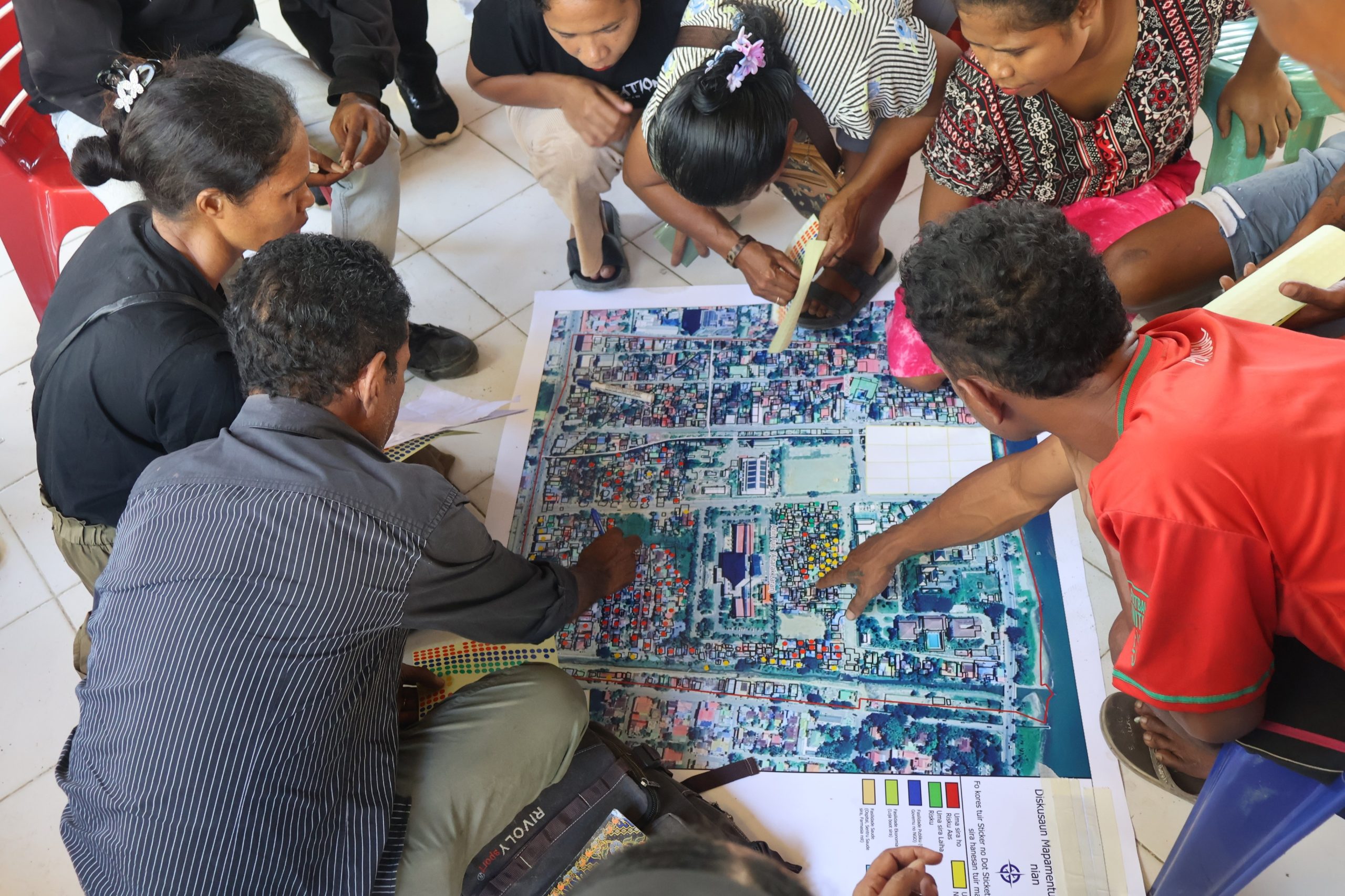
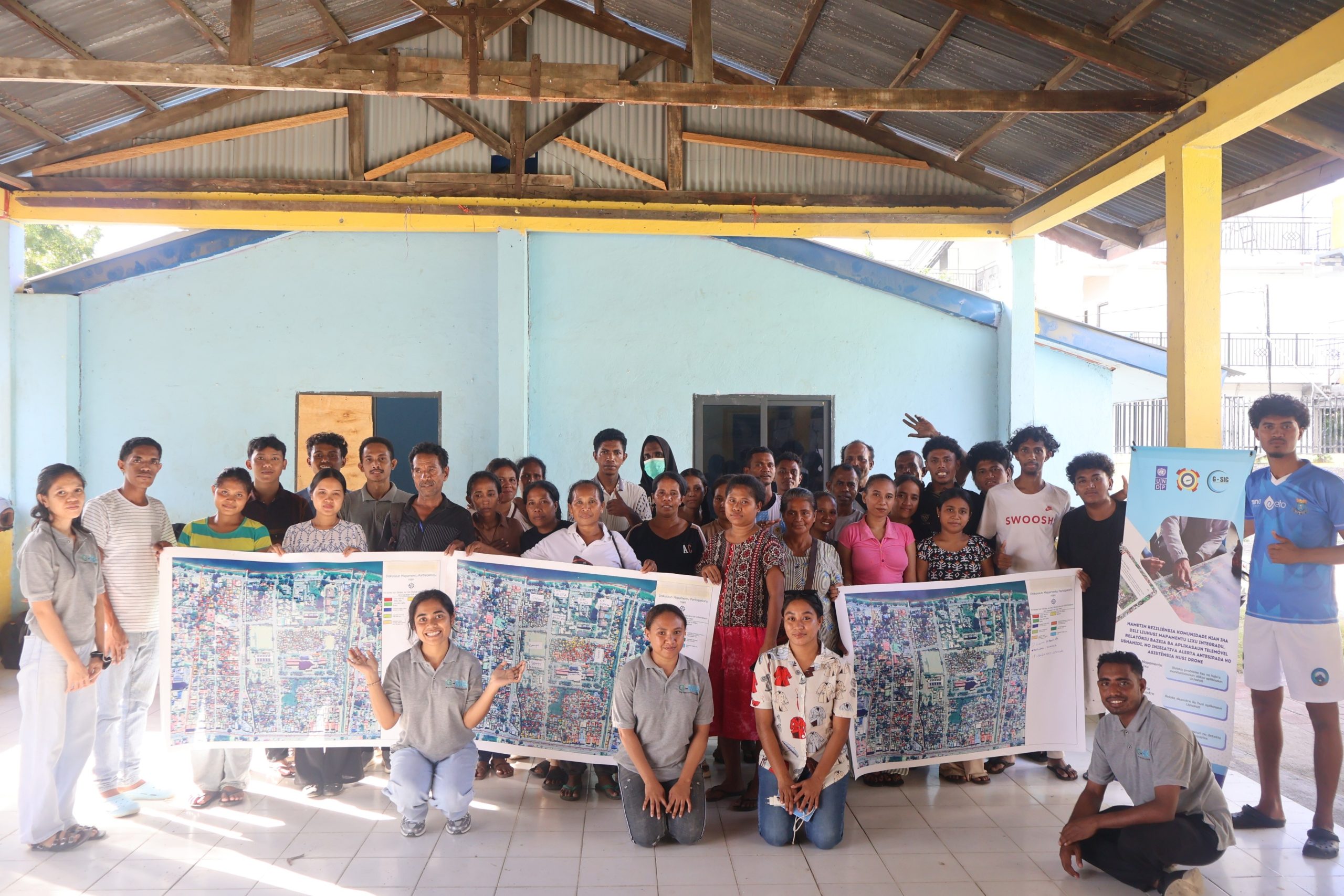
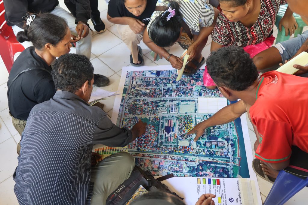
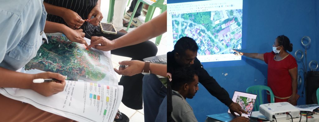
3. Participatory Flood-Risk Mapping: A central component of the initiative is participatory flood-risk mapping, which brings together community members, local authorities, youth, and technical experts to identify and discuss areas that may be exposed to flooding. In Manleuana, Motael, and Kampung Alor, G-SIG has worked with relevant stakeholders to identify locations associated with potential flood risks, including areas affected by waterways, drainage constraints, waste accumulation, and other environmental factors.
The participatory mapping process also considers the potential impacts of flooding on households, vulnerable groups, critical infrastructure, roads, public facilities, and other important community assets. Rather than treating the map as a purely technical product, the process allows local stakeholders to review the information, contribute their knowledge, identify gaps, and discuss possible preparedness and mitigation measures.
Connecting Technology with Local Knowledge
One of the key principles of this initiative is that technology alone cannot build resilience. GIS, drones, mobile applications, QR codes, and digital platforms provide powerful tools for collecting and visualizing information. However, the knowledge and experience of communities and local authorities remain essential for understanding what is actually happening on the ground.
By combining these two sources of knowledge, the initiative seeks to establish a more comprehensive picture of local environmental and disaster risks.
The resulting information can help stakeholders answer practical questions such as:
Building a More Resilient Dili
The ultimate goal of the initiative is not simply to produce maps or digital platforms. Rather, it is to strengthen the ability of communities and local institutions to understand, communicate, and respond to environmental and disaster risks.
The project is expected to contribute to: